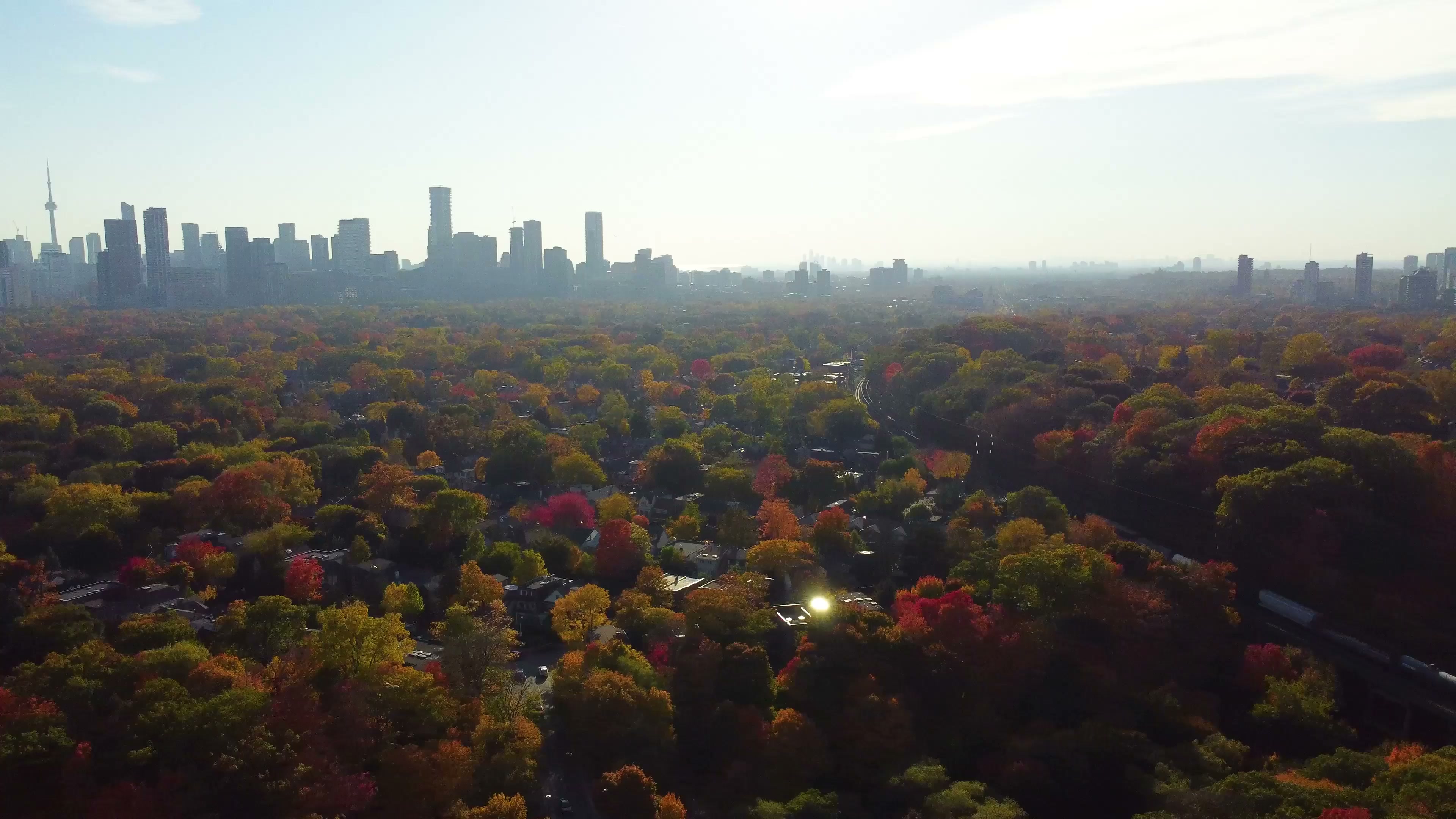
October 13, 2026 · Neighbourhood Guide
South Hill: The Ridge and the Quiet
The old shoreline, the divided estates, and the streets that keep their distance.
Part 1 of 3: The South Hill Series. Part 2: The Republic and the Ravine · Part 3: The Everyday and the Market
Poplar Plains Road climbs away from Davenport. The houses sit back. Trees occupy the space between the pavement and the front doors, and the ground does some of the work that a wall would do elsewhere. Above the slope, Casa Loma belongs to the skyline. Here, the view is part of a residential street.
South Hill is easy to miss because it offers no single arrival point. There is no square that explains it, no main shopping street that carries its name. There are instead three pockets: Poplar Plains, Rathnelly, and South Hill proper. They share the escarpment. They use it differently.
The South Hill neighbourhood guide describes generous lots around Poplar Plains, a village community in Rathnelly, and curving residential streets above. Walk between them and the distinctions become practical. The distance from a front door to the sidewalk changes. So does the climb home. Privacy here has a shape, and much of that shape was settled before the present houses arrived.
The Shore Beneath the Streets
The Davenport Escarpment marks the shoreline of glacial Lake Iroquois. The City's Casa Loma heritage study describes water standing well above present Lake Ontario, with the land along today's Davenport Road at its edge. The lake withdrew. The ridge remained.
That is the same rise beneath Casa Loma's castle and canopy. South Hill continues the story eastward, through houses and gardens rather than another account of the landmark. Its elevated lots owe their position to a landscape much older than their deeds.
The roads have their own older layer. The Toronto Historical Association identifies Davenport and Poplar Plains as routes with Indigenous origins. Davenport followed the base of the escarpment between the Humber and Don systems. Poplar Plains met it and climbed north. Their departures from the grid are part of that inheritance.
This matters at the scale of a walk. A straight line on a map does not explain the grade underfoot. Nor does a neighbourhood boundary explain why one house has an outlook and another has shelter. The ridge creates both. Height can open a view towards the city; a bend and a deep setback can turn attention back towards a garden.
From Estates to Addresses
The City's heritage research for Oaklands places Poplar Plains among the estate names associated with the ridge. It describes a landscape sought for its views and separation from the town below. The later neighbourhood emerged through the division of those larger properties, with different owners and different plans.
One documented piece lies beside Poplar Plains Road. In 1908, Margaret Fry Baldwin registered a subdivision on former Russell Hill estate land. The plan extended Russell Hill Road south of St. Clair, curving it to meet and mirror Poplar Plains Road. The curve was part of the subdivision itself.
The house at 206 followed in 1910. Architect Ewart G. Wilson designed it for financier William Sefton Hodgens. The City's report identifies its Arts and Crafts details, varied roofline and elevated position adjoining what is now Sir Winston Churchill Park. A particular house makes the transition legible: estate acreage became a residential lot, and a new household took its place on the hill.
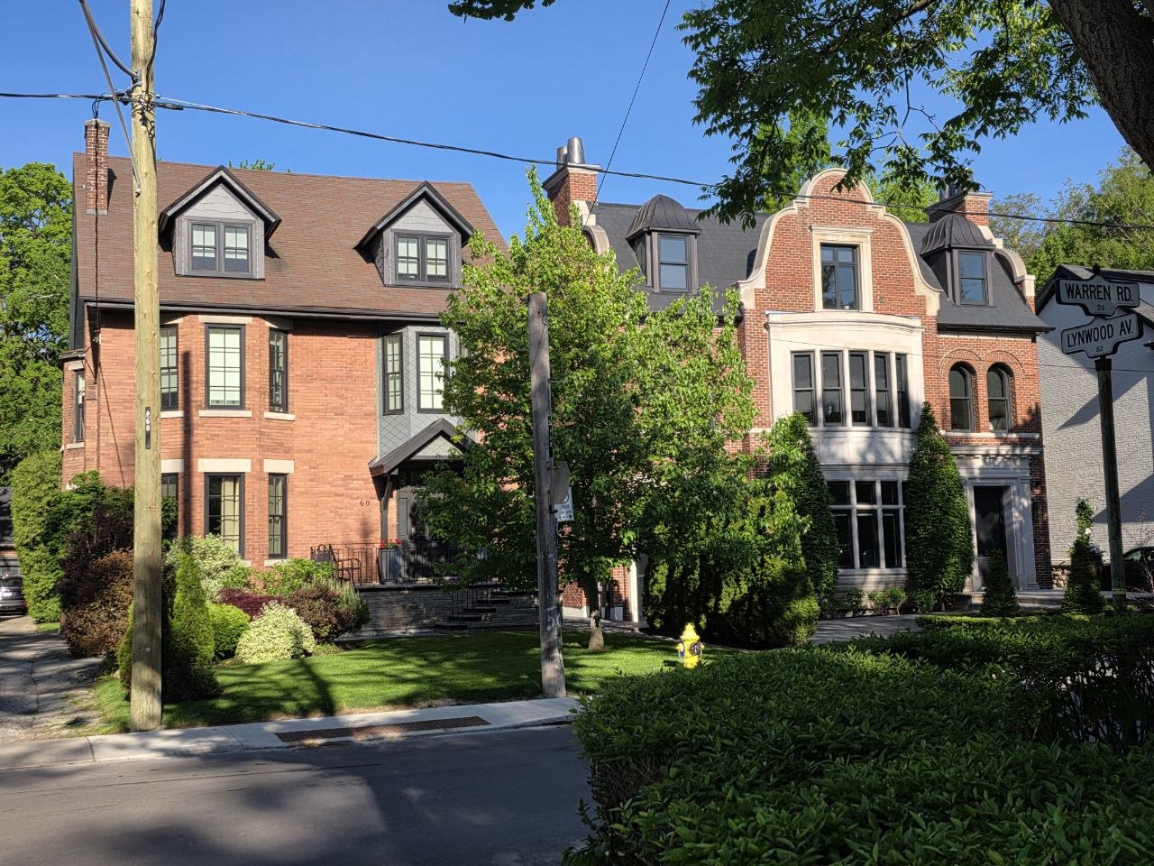
The result was not a uniform row of houses. Around Poplar Plains Road, the guide records large lots, deep setbacks and century-old trees. Edwardian houses sit within the area's wider mix of Georgian forms and contemporary infill.
- **Lot sizes** run from 25 feet to more than 80 feet, allowing everything from a semi to an estate-sized frontage
- **Edwardian and Georgian** homes, many extensively renovated for modern living
- **Contemporary infill** has added a fresh dimension while respecting the established scale
That spacing deserves attention. A kitchen can be replaced. The depth of a front garden, the position of a neighbour's windows and the reach of a mature tree are harder to change. The setting is part of the house before anyone crosses the threshold.
The houses change. The grade does not.
Continue reading: Part 2: The Republic and the Ravine — Rathnelly's 1967 republic, the Nordheimer Ravine, and the park above the reservoir.
References
Jonathan Schwarz, South Hill Real Estate Guide, revgroup.ca. Supplied guide snapshot for housing, community, amenities and all asking prices.
City of Toronto, Casa Loma Heritage Conservation District Study, History and Evolution, pages 27 and 36, toronto.ca.
Toronto Historical Association, Davenport / Poplar Plains site, torontohistory.net.
City of Toronto, Heritage Property Research and Evaluation Report, Oaklands, 131 Farnham Avenue, toronto.ca.
City of Toronto, Inclusion on the Heritage Register and Intention to Designate, 206 Russell Hill Road, toronto.ca.