September 29, 2026 · Neighbourhood Guide
Deer Park: The Village and the Wild
The Ojibway name, the 1837 homestead, and the ravine that still runs through the middle of it.
The name came before the neighbourhood. The Ojibway word for this ground was Mashquoteh: meadow or woodland where deer come to feed.[1] In 1837 Agnes Heath, a widow newly arrived from India, bought 40 acres at the northwest corner of Yonge and St. Clair and named it Deer Park.[1]
By the 1850s the corner had the Deer Park Hotel, a 12-room inn surrounded by fields for football, quoits and horse racing, and the deer were tame enough that guests could feed them.[2] The land passed to Heath's son, was subdivided, and sold off by 1874. Heath Street kept the family name.[1] Toronto annexed the village in 1908.[2]
The Village at the Crossing
Yonge and St. Clair is the main crossing. St. Clair station sits on the Line 1 subway, and the 512 streetcar runs in its own dedicated lane as part of the TTC's 10 Minute Network.[3] The library branch is on St. Clair Avenue East.[7]
A family can trace the school years close by. Deer Park Junior and Senior Public School on Ferndale Avenue runs junior kindergarten to grade 8 in a historic three-storey building with its own pool.[4] West of Yonge, De La Salle College Oaklands teaches grades 5 to 12 from a campus built around an 1860 mansion.[5]
The Land Beneath the Streets
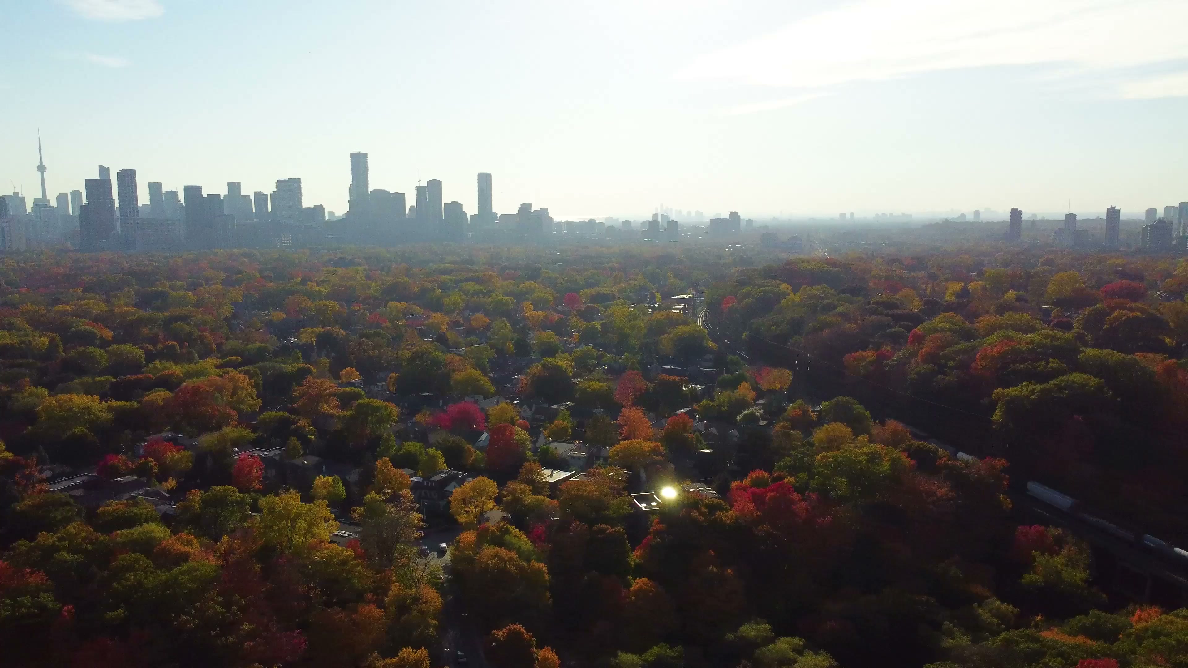
The neighbourhood sits on the Davenport Ridge, the old shoreline of glacial Lake Iroquois. The escarpment south of St. Clair looks out over the city, and the hill still divides the neighbourhood the way it always has.[2]
Just east of the crossing, David A. Balfour Park spreads over 20.5 hectares. The Rosehill Reservoir lies beneath it, built in 1873.[6] The City recently finished rebuilding the park above it: more than 250 new trees and shrubs, accessible trails, new washrooms, and the reinstated Rosehill Garden, tended by neighbourhood volunteers.[6] The Vale of Avoca carries the ravine through the neighbourhood.[2]
The busy crossing and the ravine share the same few blocks. Daily routes take in school, the library and the subway, and the wild stays in the picture. The name began with deer feeding on this ground, and Deer Park still holds room for both.
Sources
- City of Toronto, Heritage Property Research and Evaluation Report, 59 Heath Street West (2013).
- Toronto Public Library, “A Historical Walking Tour of Deer Park” (1996).
- Toronto Transit Commission, St. Clair Station and 512 St. Clair route pages, ttc.ca.
- Toronto District School Board, Deer Park Junior and Senior Public School page, tdsb.on.ca.
- De La Salle College “Oaklands” campus history, delasalle.ca.
- City of Toronto, David A. Balfour Park page and Rosehill Reservoir Rehabilitation project page, toronto.ca.
- Toronto Public Library, Deer Park branch page, tpl.ca.